

cameron2
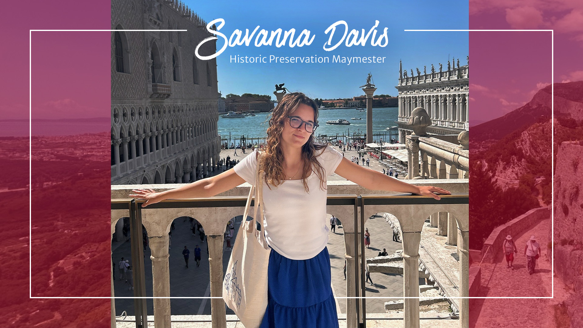
Second-year MHP student Savanna Davis shares her experience studying abroad in Croatia and Venice.
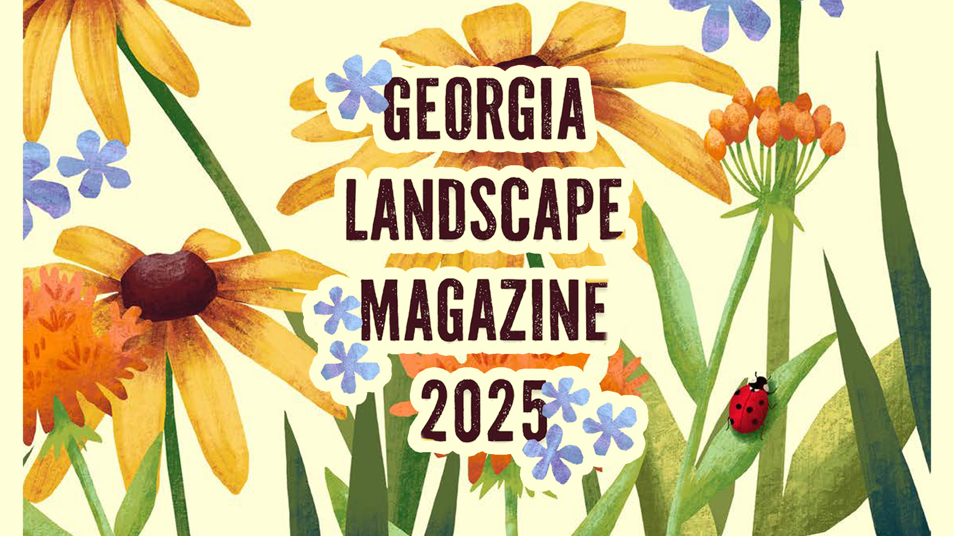
The latest edition of Georgia Landscape Magazine is here! Written, curated, and produced entirely by CED students, this annual publication showcases fresh perspectives on landscape architecture.
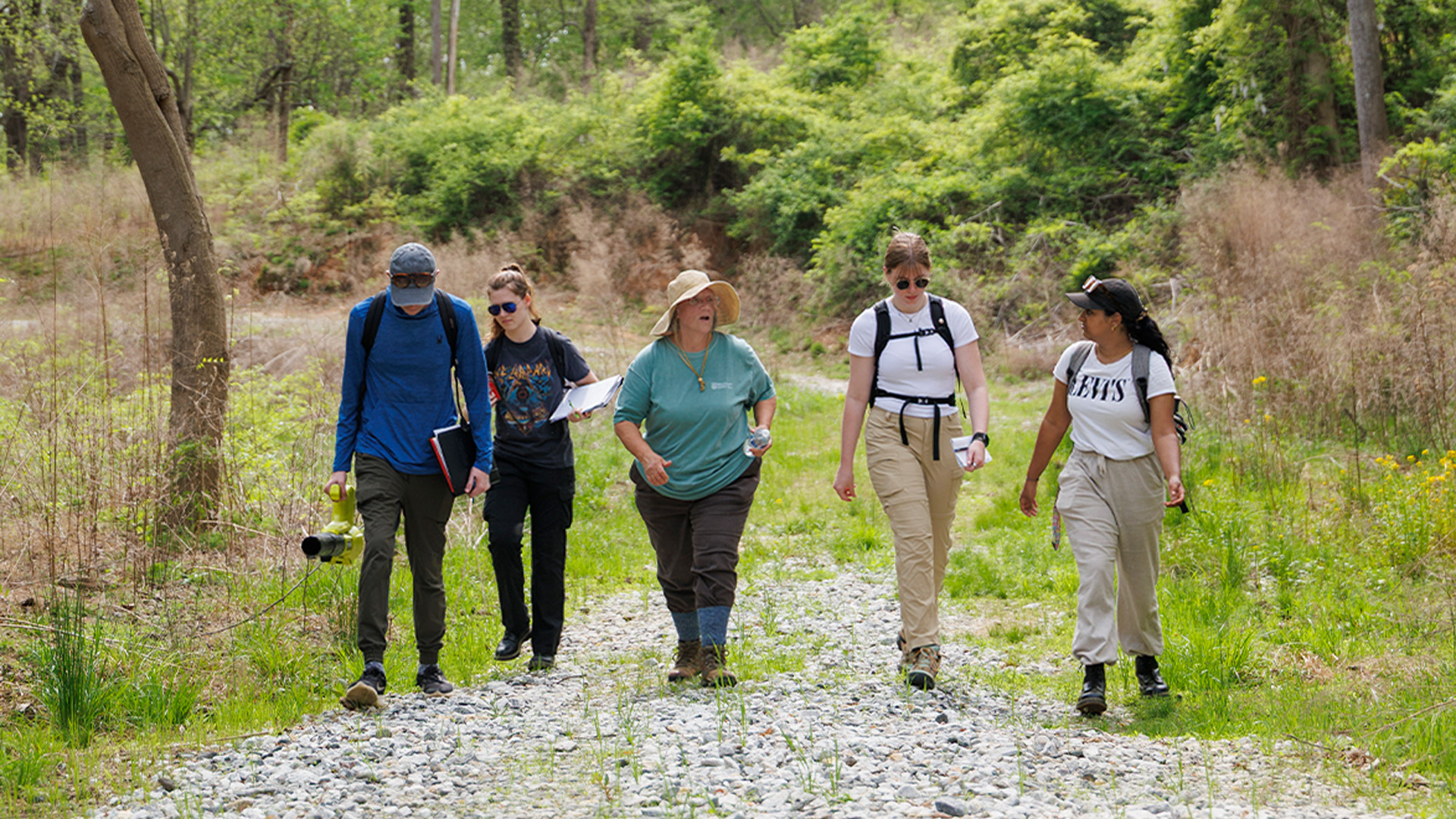
Historic Preservation students are exploring the history of the land to support ACC planning efforts.
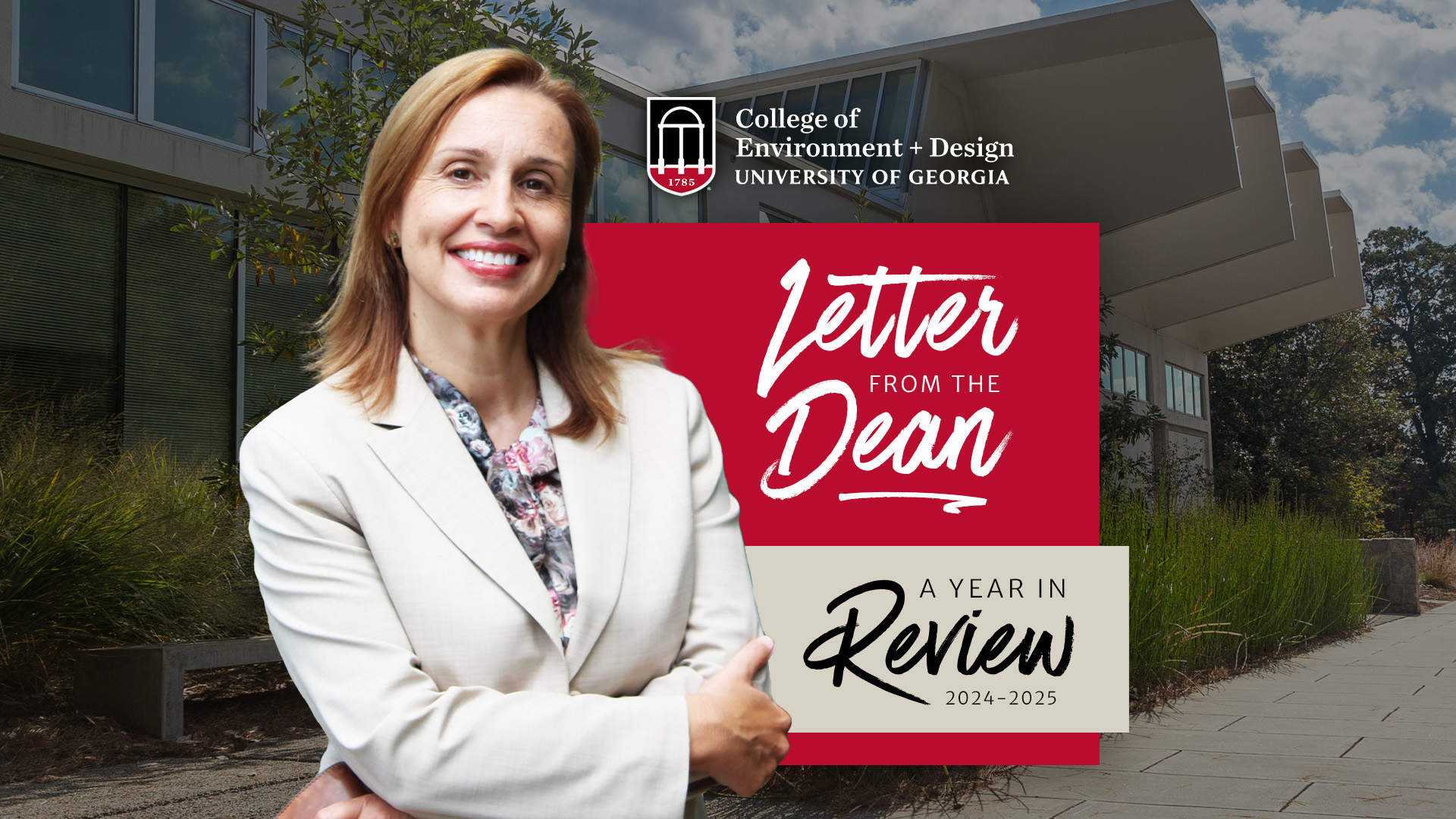
As we reflect on the 2024–2025 academic year, I’m delighted to share that our college continues to build on last year’s momentum with exciting new programs, sustained enrollment growth, and a strengthened faculty dedicated to excellence in teaching, research, and community engagement.

